Upstream
decommissioning & restoration
Project Overview
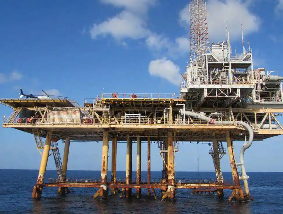
- The purpose of the project is to determine the current condition of the wells and the facility and propose all necessary work scopes that are required to enable the timely & cost-effective decommissioning of the wells, platform, & jacket for each of the three platforms. All platforms are fixed leg platforms in 165-200 feet of water.
GIS participated in the project with the DJI Matrice 300 RTK Drone and Outland 1000 Remotely Operated Vehicle (ROV) System (C-Innovation) and conducted inspection activities for the decommissioning of three platforms in the Gulf of Mexico. Prior to any decommissioning activities all the platforms required a “make safe condition” to perform well testing, conductor removal, well P & A (Plug & Abandonment), on deck NACE operations, inspection, and removal of equipment with consideration to MSDS charts.
GIS activities included fly-by inspections of the Decks and Jackets by drone and ROV to assess the current condition of the structures/pipelines/flowlines/underwater obstructions and to assist in making an informed estimate of the required materials for the Make Safe phase to be executed later. The fly-by also confirmed all items that will need to be addressed, as well as any new developments, while compiling a Make Safe Scope of Work. GIS will provide offshore construction and maintenance crews in Phase II to lead structural and other work scope repairs on overboard ladders, swing rope replacement, grating, stairs, boat landings, barricades, hand rails, heliports and main decks. In addition GIS will lead repairs and modifications to piping, blinds, manways, valves and spools as necessary. GIS environmental crews will also be part of Phase II of this project to prepare the platforms for decommissioning.